| Most viewed - Railway Archaeology & Infrastructure |
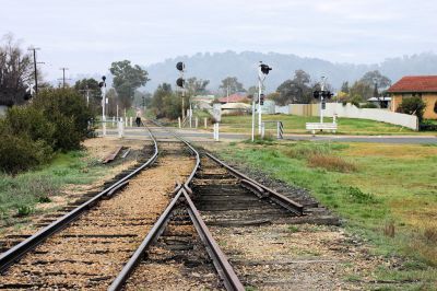
BG_leg_looking_to_Lawrence_Street.jpg28 views
|
|
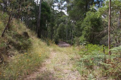
IMG_2209.jpgRight-of-way near bridge 328 views
|
|
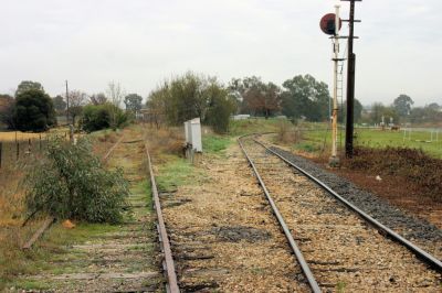
BG_leg_looking_from_Lawrence_Street_3.jpg26 views
|
|
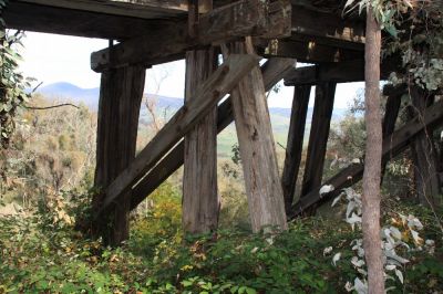
IMG_4294.jpgWaterfall Trestle26 views
|
|
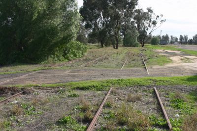
IMG_6035.JPGBerrigan Station area25 views
|
|
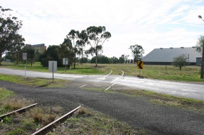
IMG_6034.JPGJeriderie Road Crossing lookg towards station (Up)25 views
|
|
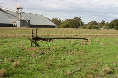
IMG_6039.JPGBerrigan Station area - must get windy here?25 views
|
|
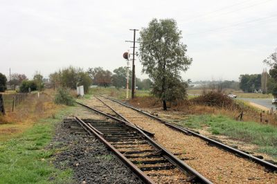
BG_leg_looking_from_Lawrence_Street_2.jpg25 views
|
|
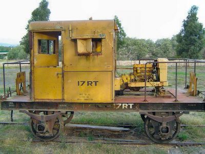
17rt2.jpg24 views
|
|
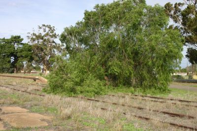
IMG_6037.JPGBerrigan Station area and platform24 views
|
|

IMG_6048.JPGGreens Swamp Road Crossing24 views
|
|

IMG_0963.JPG24 views
|
|
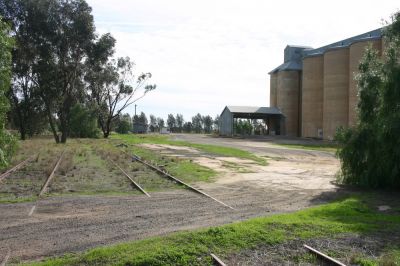
IMG_6036.JPGBerrigan Station area & silos23 views
|
|
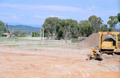
zcrop0054.jpgTumbarumba - signal mast among the excavations23 views
|
|
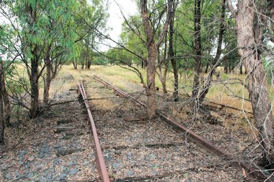
IMG_1319.jpgUrangeline East yard throat looking Up (East)23 views
|
|
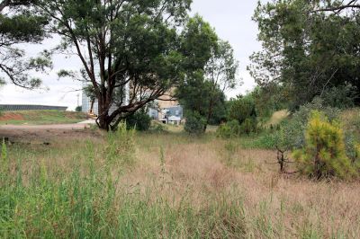
IMG_1340.jpgBurrumbuttock - looking Down (West) from Urana Road23 views
|
|
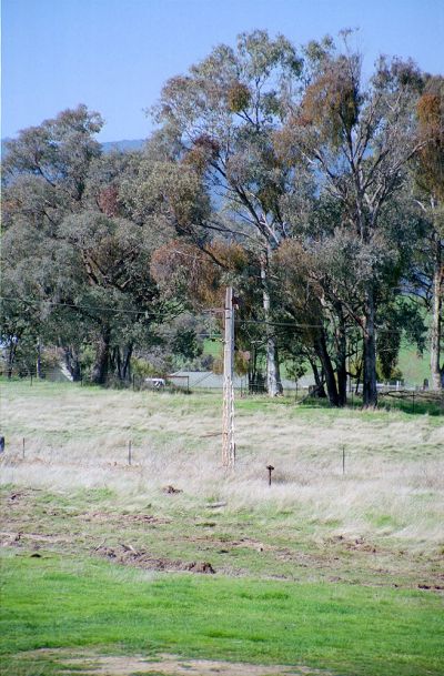
zcrop0055.jpgTumbarumba - another signal mast22 views
|
|
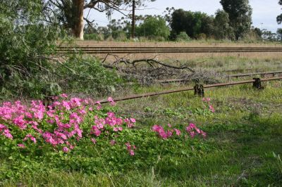
IMG_6041.JPGBerrigan Station area - point rods and flowers21 views
|
|
| 613 files on 35 page(s) |
 |
 |
 |
 |
 |
 |
 |
 |
 |
 |
 |
 |
 |
 |
 |
 |
 |
 |
 |
31 |  |
 |
 |
|
